When Drone Photography Adds Value to a Listing
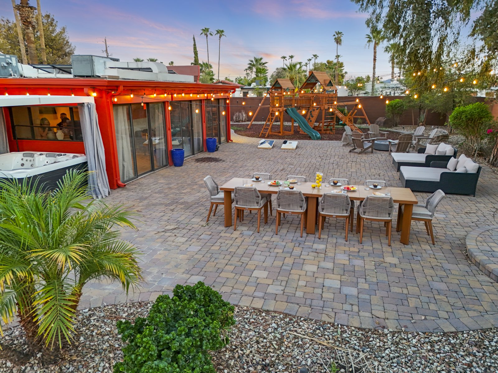
Redfin recently asked us a good question, one that is easy to answer badly: when does drone photography actually add value to a listing? Aerials are an easy add-on to oversell, so here is our honest take, including the times we tell an agent to skip it.
The short version we shared with Redfin: drone photography earns its place the moment a home's value extends past the walls. Below is the longer answer.
When a drone earns its place
A single well-composed aerial gives a buyer the one thing ground-level photos cannot: spatial context. How the house sits on its parcel, where the property lines fall, and what surrounds it. That context matters most on:
- Larger lots and acreage. On anything past a standard lot, an aerial is often the only shot that conveys the size and shape of the land, plus outbuildings, fencing, and usable space a buyer is paying for.
- Views and water. Mountains, open fields, a river, a pond, a golf course. If the setting is part of the price, show it from the air.
- Proximity to a feature. A trailhead, a park, open space, or the water's edge just past the backyard reads instantly from above and rarely from the ground. When the listing makes a location claim, such as backing onto a golf course or a preserve, one aerial settles it.
- Multiple buildings. Casitas, workshops, guest houses and horse facilities, where a buyer needs to see how the pieces sit together.
- Distinctive architecture or layout. Interesting rooflines, a compound-style layout, a pool and outdoor living area that only make sense seen as a whole.
- New construction and land. Buyers evaluating a build or a lot want to understand the site and its surroundings before they ever walk it.
When to skip it
For a standard in-town home on a typical lot with neighbors close on both sides and no view, an aerial mostly shows rooftops and the yard next door. A strong ground-level exterior tells that home's story better. We would rather put the budget toward a real twilight exterior or wider interior coverage than fly a drone that adds nothing.
The same goes for interior condos and townhouses set tight between neighbors. From above they show a roof surrounded by other roofs, and an honest aerial can reveal exactly what the ground-level photos were composed around. If the aerial hurts the listing, do not take it.
One aerial done right beats five average ones
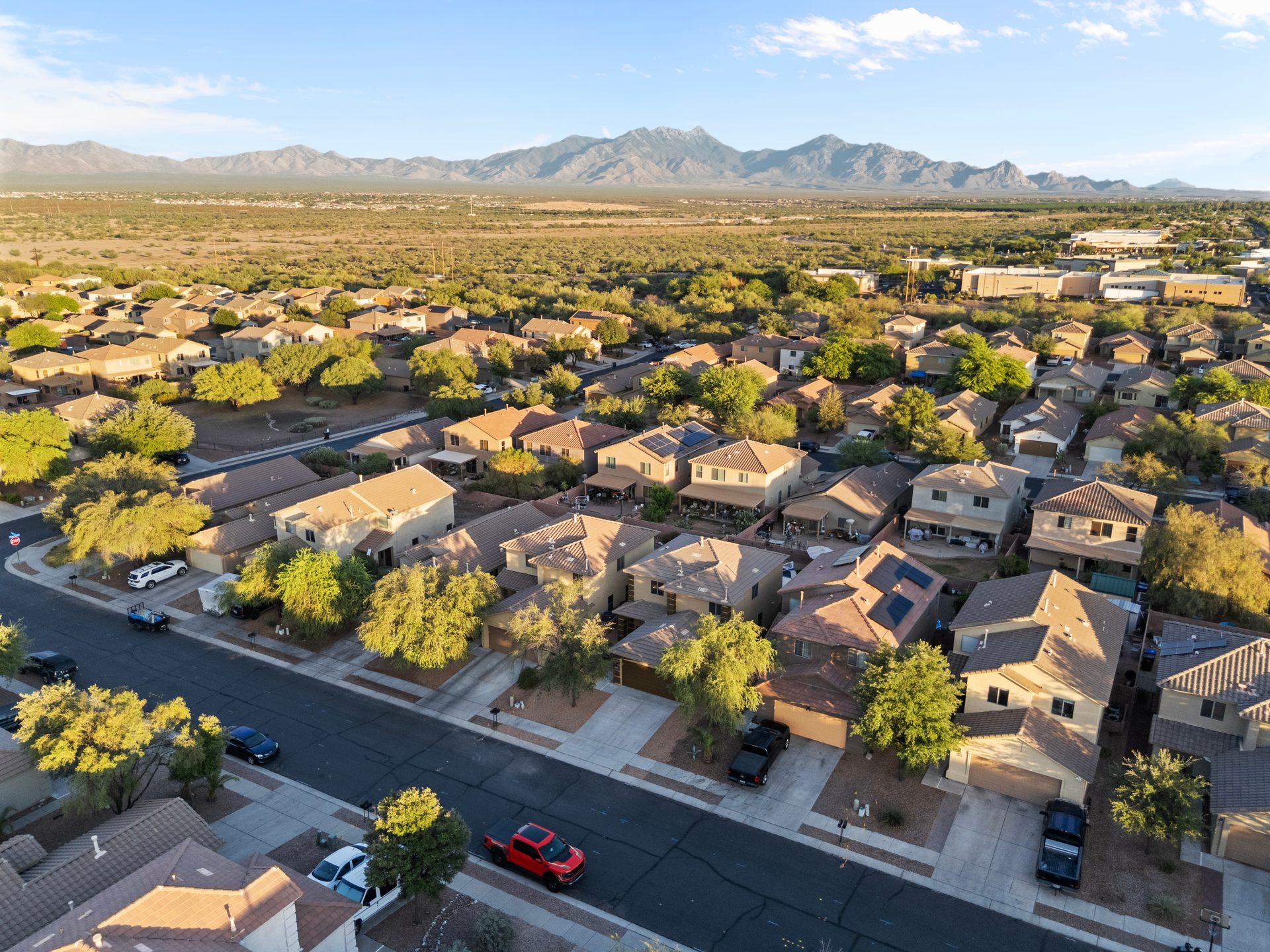
The value is in the composition, not the count. The best aerial is usually shot near golden hour, framed to place the home in its setting rather than hovering straight overhead, and flown only where the airspace is legal. In Arizona, every aerial we deliver is captured on location by an FAA Part 107 certified pilot. We do not composite skies or fake a view that is not there.
Altitude is where most weak drone work goes wrong. Shot too high, the property turns into a map. The frames that sell are low and angled, close enough that the house is clearly the subject and the setting is the context. Light matters as much as it does on the ground: midday flattens a roofline into a grey plane, while late afternoon gives it shadow and separates the house from the ground around it.
Airspace in Arizona
Commercial drone flights in the United States require an FAA Part 107 certificate. Much of the Phoenix metro sits inside controlled airspace around Sky Harbor, Phoenix-Mesa Gateway, Scottsdale and Deer Valley airports, where a flight needs FAA authorization, and Sedona has its own limits. That is a real operational limit rather than paperwork, and it is why some addresses cannot be flown on the day requested. Book drone with the shoot rather than on the day, so there is time to check the airspace first.
How we handle it
Drone is an add-on to any Sold Visual shoot, captured in the same visit and delivered with the rest of the gallery within 24 hours. We photograph listings across Arizona, Southeast Idaho, Jackson Hole and Gainesville, and in Southeast Idaho, acreage and land listings make aerials especially worth it. If you are not sure whether a property calls for one, tell us about the lot and the setting and we will give you a straight answer.
This piece grew out of our contribution to Redfin's article, “When Drone Photography Adds Value to a Listing”. Sold Visual was featured alongside other real estate professionals.